Hertfordshire
‘Mark One’ New Town – Designated 20 May 1948
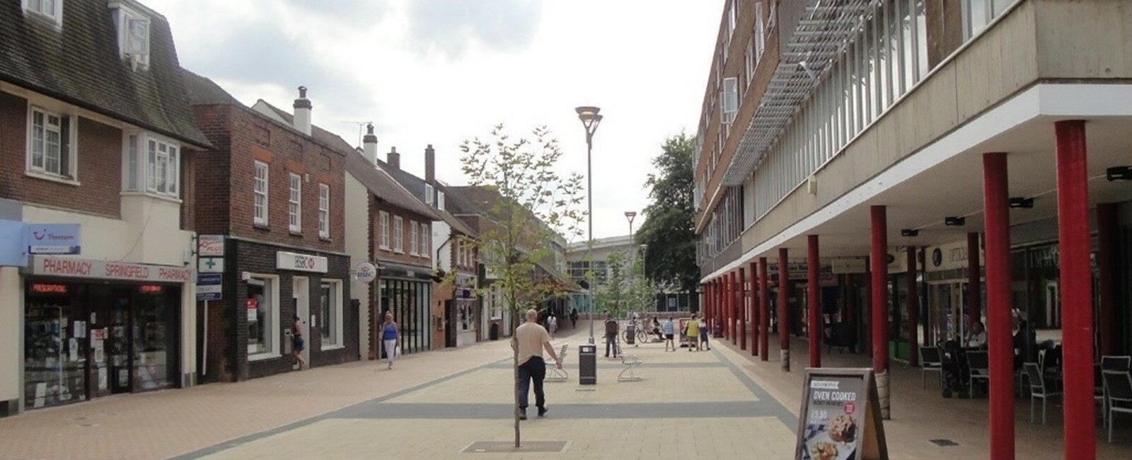
Hatfield was designated alongside Welwyn Garden City, having first been identified for expansion in Abercrombie’s Greater London Plan. The ‘twin’ New Towns, separated by a thin strip of Green Belt, were developed by separate Development Corporations (run by the same personnel). Part of the reason for Hatfield’s designation was to provide housing for the rapidly expanding workforce of the de Havilland Aircraft Company. Following closure of the aircraft factory in the 1990s, the site was used to develop 2,000 homes – and a campus for the University of Hertfordshire and a business park, which together replaced the jobs lost by the closure of the aircraft company. Hatfield town centre has suffered significant decline since the 1990s, which has led to high vacancy levels and a public realm in need of renewal.
Key facts:
- Location: 29 kilometres north of London, 4.8 kilometres from Welwyn Garden City.
- 2011 Census population: 39,088 people, in 14,003 households.
- Local authority: Welwyn Hatfield Borough Council.
- Local Plan status: Welwyn Hatfield Emerging Core Strategy 2012, with saved policies from the Welwyn Hatfield District Plan (adopted 2005).
New Town designation:
- Designated: 20 May 1948.
- Designated area: 948 hectares.
- Intended population: 25,000 (population at designation: 8,500).
- Development Corporation: Designated to assist the decentralisation of the population of Greater London. The masterplan aimed to create a New Town from what was a ‘traffic island’ – with roads and railways to St Albans and the Great North Road – and to protect the Green Belt. Development Corporation wound up 31 March 1966.
Figures taken from Hatfield ‘5 minute’ fact sheet – TCPA New Towns and Garden Cities, Lessons for Tomorrow research, available here.
Council website:
Information about regeneration:
https://one.welhat.gov.uk/regeneration
Local museums and archives:
Welwyn Hatfield Museum Service: https://www.welhat.gov.uk/museum

