In partnership with the Environment Agency
This page hosts materials for developers and FRA consultants about the Environment Agency’s new flood and coastal erosion risk data.
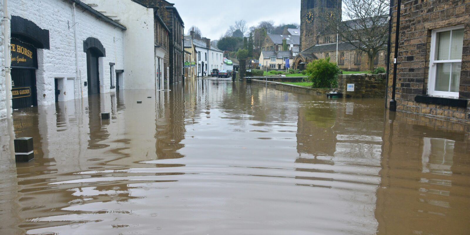
The Environment Agency is currently in the process of publishing updates to National Flood Risk Assessment (NaFRA2) and the National Coastal Erosion Risk Map (NCERM) data. These tools provide essential information for planners, and resources on this page are provided to help practitioners understand and use new information about flood and coastal erosion risk.
| LPA and LLFA staff interested in the role of the new data for development planning, should access Development planning (including Flood Map for Planning) instead. To request access please complete this form. |
On this page you will find:
- A briefing note for developers and consultants explaining further changes to the Flood Map for Planning service scheduled for 28 May 2026.
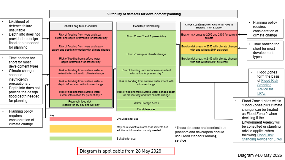
- An updated diagram explaining the suitability of the Environment Agency’s new flood risk products for development planning
- E-learning courses
Announcements
28 May 2026: Changes to the Flood Map for Planning service. New surface water climate change extents and banded depth layers have been added to the service. The new dataset adds to the present day surface water flood risk and ends the need for planners and developers to use the surface water flood risk information on Check Your Long-Term Flood Risk (CYLTFR) service. The new layers will also be available from Defra Data Services Platform. Find more information in the briefing note below.
Please note that the Environment Agency continues to implement routine updates to the datasets already provided on Flood Map for Planning. For instance, the Flood Zones and Flood Zones plus climate change layers were subject to data updates in November 2025 – a further update is planned for 20 May 2026. It therefore remains important that users accessing these datasets via GIS tools, use data feeds or regularly check if updates are available. Doing so will ensure the best available information is always used.
Resources
1. Briefing note explaining further changes to the Flood Map for Planning service
Read this briefing note to understand further changes to the Flood Map for Planning service (updated May 2026).
2. A diagram explaining the suitability of the Environment Agency’s new flood risk products for development planning
3. E-learning
The TCPA and the Environment Agency have developed a series of e-learning modules covering key policy and implementation topics around planning for flood risk in England. All resources are available here: https://learning.tcpa.org.uk/. To support publication of the new surface water flood risk information, a new module titled ‘ An introduction to Sustainable Drainage Systems for planners’ has been launched in May 2026.
Last updated May 2026